
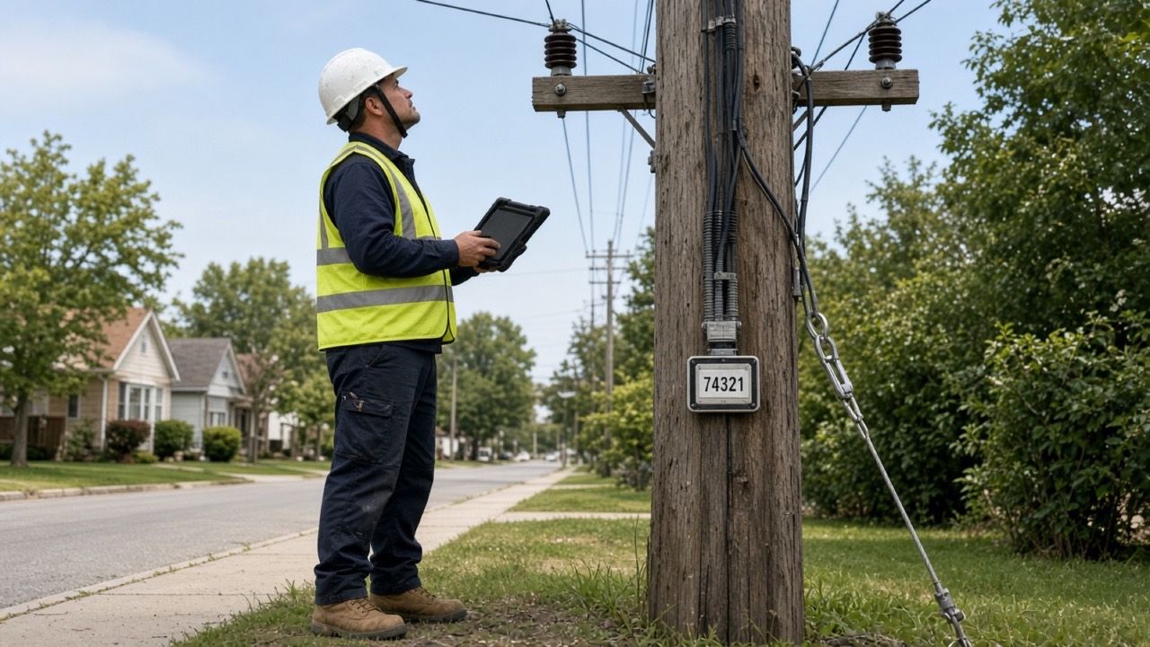
UrbanLink Networks provides Joint Pole Attachment (JPA) fielding and utility pole data collection for fiber, broadband, and telecom infrastructure projects. We document existing pole conditions, attachments, and route details to support pole attachment applications, pole loading analysis, and make-ready engineering.
From field capture through digital quality control, we organize pole records, measurements, and photographs into clear deliverables your engineering and project teams can use.
Pole-by-Pole Field Documentation
Successful attachment projects start with a clear understanding of existing infrastructure. We collect project-specific field information and connect each record to its pole location, supporting photographs, and route context.
Our fielding scope is established around your project requirements, pole owner specifications, and downstream engineering needs.
Pole Identification & Location
Capture pole numbers, tags, GPS coordinates, and visible ownership markings. Document pole material, class, and length where markings are legible, and flag missing or uncertain information for review.
Existing Attachment Inventory
Document visible power and communication attachments, associated equipment, risers, and identifiable ownership labels. Organize attachment records and photographs by pole.
Attachment Heights & Span Measurements
Collect attachment heights, span lengths, and specified midspan or crossing measurements to support engineering evaluation. Measurement requirements and collection methods are agreed upon before deployment.
Guy & Anchor Documentation
Record visible down guys, anchors, guying arrangements, and associated field conditions within the project scope.
Pole & Route Photography
Capture pole overview images, identification markings, attachment details, span views, and relevant site conditions. Link photographs to the corresponding pole records for straightforward review.
Field Exceptions & Site Observations
Flag missing tags, obstructed views, inaccessible locations, double-pole conditions, and other observations that require follow-up. Record uncertainty clearly so downstream teams can distinguish confirmed information from items needing verification.
Deliverables Built for Your Workflow
Depending on the agreed scope, your fielding package can include:
- Pole inventory with unique identifiers and GPS coordinates
- Existing attachment records and collected measurements
- Pole and route photographs linked to field records
- Guy, anchor, and equipment documentation
- Field notes and an exception register
- GIS-compatible datasets, spreadsheets, and photo packages
- Collection status and quality review summaries
We define required fields, file formats, naming conventions, and acceptance criteria before collection begins.
Supporting Your Next Stage
Our JPA fielding services provide field inputs for:
- New aerial fiber and broadband routes
- Joint-use attachment applications
- Pole loading analysis
- Make-ready engineering
- Existing attachment inventories
- GIS and infrastructure record updates
Field collection supports subsequent engineering review. Pole loading analysis, make-ready design, and application preparation can be discussed as separate service scopes.
Why UrbanLink Networks?
-
Connected field and data workflows
Field records move into the same GIS, data processing, and reporting workflows used for project delivery.
-
Quality checks before handoff
Structured review helps identify missing information and inconsistent documentation before your team begins downstream work.
-
Clear visibility into exceptions
Uncertain measurements, access limitations, and incomplete records are documented for review.
-
A practical pilot approach
Start with a defined group of poles to evaluate collection quality, deliverable structure, and communication before expanding the scope.
Frequently Asked Questions
What is JPA pole fielding?
JPA pole fielding is the collection and documentation of existing utility pole information for joint pole attachment projects. Depending on the scope, this includes pole locations, identification markings, existing attachments, heights, spans, guys, anchors, and photographs.
How does fielding support pole loading analysis and make-ready engineering?
Fielding supplies measurements and observations that engineering teams use to evaluate proposed attachments, structural loading, and potential make-ready requirements.
Can you follow our collection standards?
Collection requirements, required attributes, measurement methods, photo standards, and delivery formats are reviewed during project intake.
What information is needed to request a quote?
Share your project location, estimated pole count, route map or pole list, collection specifications, preferred deliverable formats, and target schedule.